How to Read Contour Lines on a Lake Map
Let's be honest, trying to find fish in a vast lake or a winding river can feel like searching for a needle in a haystack. You spend precious time and fuel motoring around, casting into what seems like promising water, only to come up empty-handed. But what if there was a way to "see" the underwater landscape and dramatically increase your chances of finding those elusive walleye, bass, or crappie, all before you even wet a line? This guide is going to unlock the secrets of reading contour lines on a lake map, turning you into an underwater detective for South Dakota's fantastic fisheries.
Why Understanding Contour Lines is a Game-Changer for South Dakota Anglers
For years, I fished by trial and error, often relying on local tips or just plain luck. And while those can sometimes pay off, nothing beats the confidence that comes from truly understanding the bottom structure of a lake or river. Contour lines on a map are like X-ray vision for anglers, revealing the underwater topography that fish instinctively gravitate towards. It’s not just a nice-to-have skill; it’s an absolute essential for consistent success in South Dakota's diverse waters.
Unlocking Hidden Fish Havens
Think about it: fish don't just hang out anywhere. They seek out specific features for ambush points, protection from current, access to deeper, cooler water, or areas where baitfish congregate. Contour maps clearly mark these crucial transitions. Where the lines pinch together, you know you've got a steep drop-off or a sharp breakline—prime real estate for walleye patrolling for an easy meal. When you see a series of closely spaced lines suddenly spread out, that's often a flat or a large, shallow feeding area.
On massive bodies of water like Lake Oahe or Lake Sharpe along the Missouri River, or even smaller glacial lakes in eastern South Dakota, these subtle changes can be impossible to spot from the surface. But with a good map, you can identify these underwater "highways" and "neighborhoods" where fish live and travel. We're talking about old river channels, submerged roadbeds, humps, points, and even deep holes. Knowing how to read contours means you can pinpoint these structures and focus your efforts where the fish are most likely to be. It’s about working smarter, not just harder.
Saving Time and Fuel on the Water
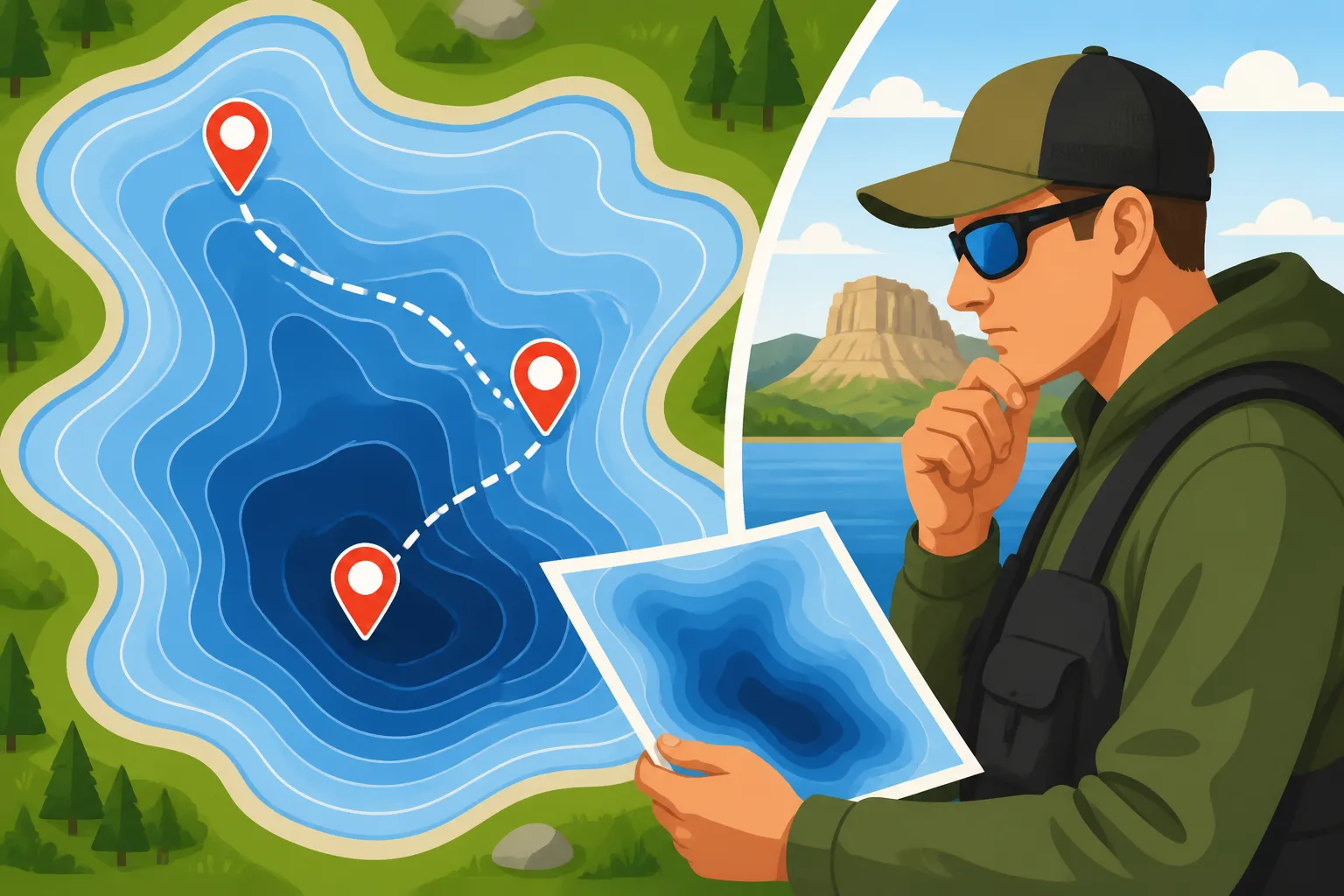
Picture this: you launch your boat on a huge lake like Lake Francis Case, excited for a day of fishing. Without a plan, you might just pick a direction and start trolling or casting. This scattergun approach burns through fuel and hours without much to show for it. Now, imagine instead that you've studied your contour map at home, marking several key spots: a sharp break on a main lake point, a submerged hump with a deep-water access nearby, and a creek channel winding through a flat.
When you get to the lake, you already have a roadmap to success. You can motor directly to your chosen spots, saving valuable time and fuel. This focused approach means more time with your lure in productive water and less time fruitlessly searching. Especially when fishing tournaments or just trying to maximize a weekend trip, this efficiency is invaluable. You're not just guessing; you're operating with a strategic advantage, moving from one high-percentage spot to the next, much like a seasoned pro.
The Basics: What Do Those Lines Actually Mean?
At first glance, a contour map might look like a confusing spaghetti mess of lines and numbers. But once you understand the simple principles behind them, it clicks. These lines aren't arbitrary doodles; they represent specific depths and shapes of the underwater terrain, offering a topographical view beneath the surface.
Deciphering Depth and Structure
Each line on a contour map represents a specific depth, much like elevation lines on a topographic map for land. The key to understanding them is the contour interval. This is the difference in depth between two adjacent contour lines. For example, if your map has a 5-foot contour interval, each line you cross means a change of 5 feet in depth. If the numbers on the lines are getting smaller as you move towards the center of a lake, you're heading shallower; if they're getting larger, you're heading deeper.
When the contour lines are tightly packed together, it indicates a steep drop-off or a sharp breakline. This is often where fish, especially walleye, will hold, moving up and down the break to feed. Imagine a steep hill underwater. When the lines are far apart, it signifies a gradual slope or a flat bottom. These areas can be good for cruising fish or large schools of baitfish, especially if they have some cover like weeds or rock piles. Understanding these basic principles allows you to visualize the underwater world as if the water wasn't even there.
Common Contour Line Patterns and What They Tell You
Learning to identify common patterns will quickly make you proficient at reading any lake map. Here's a quick rundown of what to look for:
- Tight Lines: As mentioned, these signify steep breaks, ledges, or sudden drop-offs. These are fantastic ambush points for predators. On the Missouri River reservoirs, these steep breaks off main lake points are often walleye magnets.
- Wide, Spaced-Out Lines: These indicate gradual slopes or expansive flats. While flats might seem uninteresting, they can hold a lot of baitfish, and finding subtle changes within them, like a small hump or a deep seam, can be key. Many of South Dakota's glacial lakes have extensive flats that attract panfish and northern pike.
- V-Shapes Pointing Upstream (or into a Bay): These typically outline old creek beds or river channels. These channels are like underwater highways, providing fish with depth changes, current breaks, and migration routes. Finding where a channel meets a main lake point or a sharp turn in the channel itself can be incredibly productive. How to Read Contour Lines on a Lake Map can help you visualize this better.
- U-Shapes or Bulges: These suggest underwater points, humps, or reefs. An underwater point extending from a shoreline, especially one that drops into deeper water, is a classic fish-holding structure. Humps, completely surrounded by deeper water, act like magnets for bait and predator fish alike. On Lake Oahe, these submerged humps are highly sought after by walleye anglers.
- Irregular, Squiggly Lines: These often denote rock piles, boulders, or complex bottom features. While harder to interpret precisely, they tell you the bottom isn't uniform and likely offers plenty of cover and structure for fish.
Recognizing these patterns instantly tells you about the underwater environment and helps you predict where different species might be located.
| Contour Pattern | What it Looks Like on Map | What it Means Underwater | Potential Fish Holding Areas |
|---|---|---|---|
| Tight Lines | Lines very close together | Steep drop-off, ledge, sharp break | Walleye, smallmouth bass ambush points |
| Wide, Spaced Lines | Lines far apart | Gradual slope, flat bottom | Cruising walleye, panfish on flats |
| V-Shapes (inward) | "V" pointing towards shallower | Old creek channel, river bed | Walleye migration routes, catfish holes |
| U-Shapes (outward) | "U" pointing towards deeper | Underwater point, hump, reef | Bass, walleye, salmon structure |
| Circular Lines (small) | Isolated circles | Submerged hump, rock pile | Structure for various species |
Putting Contour Maps to Work: Practical Application on South Dakota Waters
Knowing what the lines mean is one thing, but applying that knowledge to target specific fish in South Dakota's diverse fishing grounds is where the real magic happens. Different fish species have different preferences for structure and depth, and understanding these nuances will make your map reading even more effective.
Identifying Walleye Holding Areas
Walleye are masters of relating to subtle changes in bottom contour. They love to ambush baitfish from deeper water, so sharp breaks, points, and humps that offer quick access to both shallow feeding grounds and deeper sanctuary are prime locations.
On large reservoirs like Lake Oahe or Lake Sharpe, look for long, tapering points that extend into the main channel. These often have distinct contour lines indicating a gradual slope on one side and a sharp drop-off on the other. Walleye will often be found patrolling these breaklines, especially where the point flattens out slightly before dropping off steeply. Similarly, submerged humps that rise out of deeper water are goldmines. The walleye will sit on top of the hump or along its sides, waiting for baitfish to pass by. Pay close attention to the deep-water access around these humps; the fish use these as travel lanes. An old creek channel that winds through a large flat on Lake Oahe can also be a fantastic place to find walleye, especially during certain times of the year. If you're wondering how to really get after them, check out our South Dakota Walleye Fishing Guide.
Finding Bass and Panfish Structures
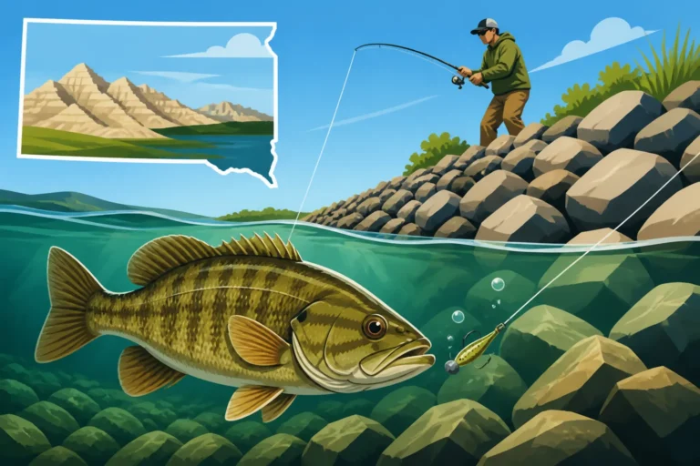
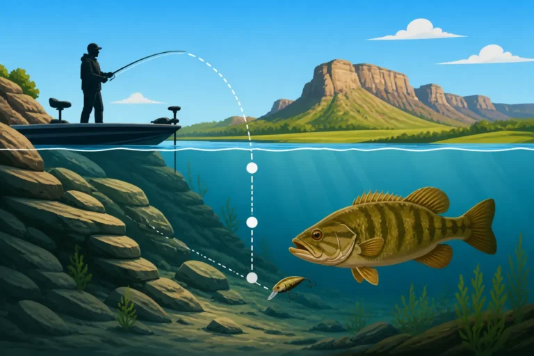
Smallmouth bass, abundant in reservoirs like Lake Francis Case and Lewis and Clark Lake, are structure-oriented fish. They love rocky points, rip-rap shorelines, and hard bottom areas. On a contour map, look for areas where tight lines indicate a steep, rocky bank dropping into the water, particularly if there's an underwater point extending from it. These points often create current breaks and attract baitfish, making them ideal hunting grounds for smallmouth. Submerged rock piles or even old timber, often marked by very erratic contour lines or noted on specialized maps, are also prime bass territory. Understanding How to Fish a Drop-Off for Smallmouth Bass can further enhance your success.
Panfish, like crappie and perch, also use contours to their advantage. Crappie often relate to submerged brush, old timber, or weed lines that grow along gradual breaks in depth. On the glacial lakes, look for flats with scattered, gentle contour changes that might indicate subtle depth transitions or isolated humps that can hold schools of perch. A map can help you find these subtle changes that are hard to see from the surface. Areas where a shallow flat suddenly drops into a deeper basin, even a gentle slope, can be productive, especially if there's any form of cover available.
Ice Fishing and Contour Lines
When the lakes freeze over, contour maps become even more indispensable. You can't just motor around looking for structure; you're often limited to drilling holes and hoping for the best. This is where pre-trip map study pays off big time. Before heading out onto the ice in South Dakota, study your map to identify key structures like points, humps, sharp breaklines, and old creek channels.
These are the exact locations where fish will congregate under the ice. You can use your map to pinpoint where you want to drill your first hole, knowing that you're starting on a promising piece of structure. For example, if you find a submerged hump that tops out at 15 feet surrounded by 30 feet of water, you can target the edges of that hump, knowing fish will use it. Or if you're looking for panfish, find a flat that drops into a slightly deeper basin. Many anglers will even mark a series of holes along a breakline to find the "sweet spot" where fish are actively feeding. To learn more about tackling the frozen water, check out our South Dakota Ice Fishing Guide. You'll often find waterproof paper maps or laminated versions perfect for ice fishing conditions on retailers like Amazon, keeping your essential information at hand.
Tools of the Trade: Accessing and Interpreting Maps
Okay, so you're convinced contour maps are essential. But where do you get them, and how do you use them with modern technology? The good news is, there are more options than ever before, combining traditional knowledge with cutting-edge convenience.
Traditional Paper Maps vs. Digital Navigational Charts
Both traditional paper maps and modern digital charts have their place in an angler's arsenal.
Paper Maps: These are the classics. You can spread them out, mark them with a pencil, and get a broad overview of an entire lake. They don't run out of battery, and they're often available at local bait shops, sporting goods stores, or even online through retailers like Amazon. The downside is they can get wet, tear, and don't offer real-time positioning. However, for a quick study session at home, or as a reliable backup, they are still incredibly useful. Many anglers still prefer to outline their planned routes and key spots on a paper map before transferring them to digital devices.
Digital Navigational Charts: This is where technology truly shines. Most modern fish finders and GPS units come pre-loaded with incredibly detailed digital contour maps, or you can purchase high-definition mapping cards from companies like Navionics or LakeMaster. These charts offer several advantages:
- Real-time Positioning: Your boat's icon moves directly on the map, showing you exactly where you are relative to every contour line.
- Zoom and Pan: You can zoom in for extreme detail on a small area or zoom out for a wider perspective.
- Customization: Many units allow you to highlight specific depth ranges, adjust contour line shading, and mark waypoints for hotspots.
- Accessibility: Many mapping apps are also available for smartphones and tablets, allowing you to study maps even when you're away from your boat.
The primary drawback is the reliance on battery power and the potential for software glitches, but for dynamic, in-the-moment navigation, digital charts are hard to beat. They let you easily identify South Dakota Glacial Lakes Walleye Fishing areas or pinpoint spots on Lake Oahe Fishing Guide in an instant.
Integrating with Your Fish Finder and GPS
The true power of contour maps comes when you integrate them with your boat's electronics. Your fish finder isn't just for showing you fish arches; it's a powerful mapping tool. When you have a good mapping chip installed, your screen will display the contour lines directly alongside your sonar readings. This means you can see a fish arch or a bait ball, and immediately know if it's sitting on a breakline, over a hump, or near an old river channel.
Using your GPS, you can mark specific waypoints on your map for productive spots. Caught a nice walleye on a particular break? Mark it! Found a school of crappie suspending over a submerged timber pile? Drop a waypoint. Over time, these marked waypoints will build up a personal "library" of hotspots, all linked to the underlying contour data. This allows you to return to those exact locations with precision, increasing your chances of success every time you hit the water. Learning How to Find Walleye on a New Lake becomes much simpler when you combine your sonar with detailed mapping. Some units even offer "follow the contour" features for autopilot systems, making trolling along a specific depth contour almost effortless. Many top-tier fish finders with robust mapping capabilities can be found on retailers like Amazon, offering a wide range of options to fit your needs and budget.
Disclaimer
This article is for general informational purposes only and does not constitute professional advice. Laws, prices and regulations vary by location and change over time. Consult a qualified professional for guidance on your specific situation.